• Welcome to Autism Forums, a friendly forum to discuss Aspergers Syndrome, Autism, High Functioning Autism and related conditions.

    Your voice is missing! You will need to register to get access to the following site features:
    • Reply to discussions and create your own threads.
    • Our modern chat room. No add-ons or extensions required, just login and start chatting!
    • Private Member only forums for more serious discussions that you may wish to not have guests or search engines access to.
    • Your very own blog. Write about anything you like on your own individual blog.

    We hope to see you as a part of our community soon! Please also check us out @ https://www.twitter.com/aspiescentral

Stuttermabolur

Wondering...
V.I.P Member
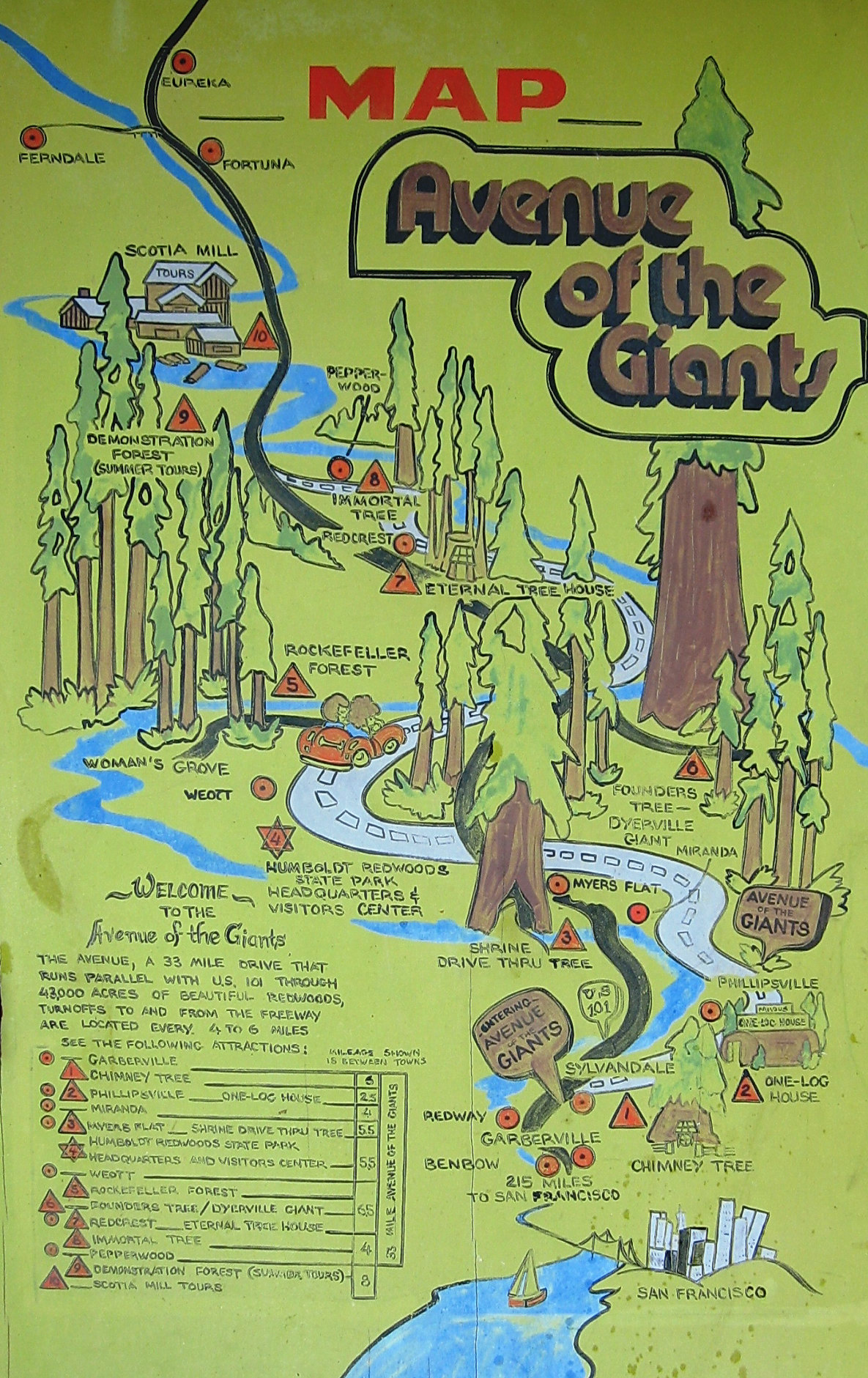
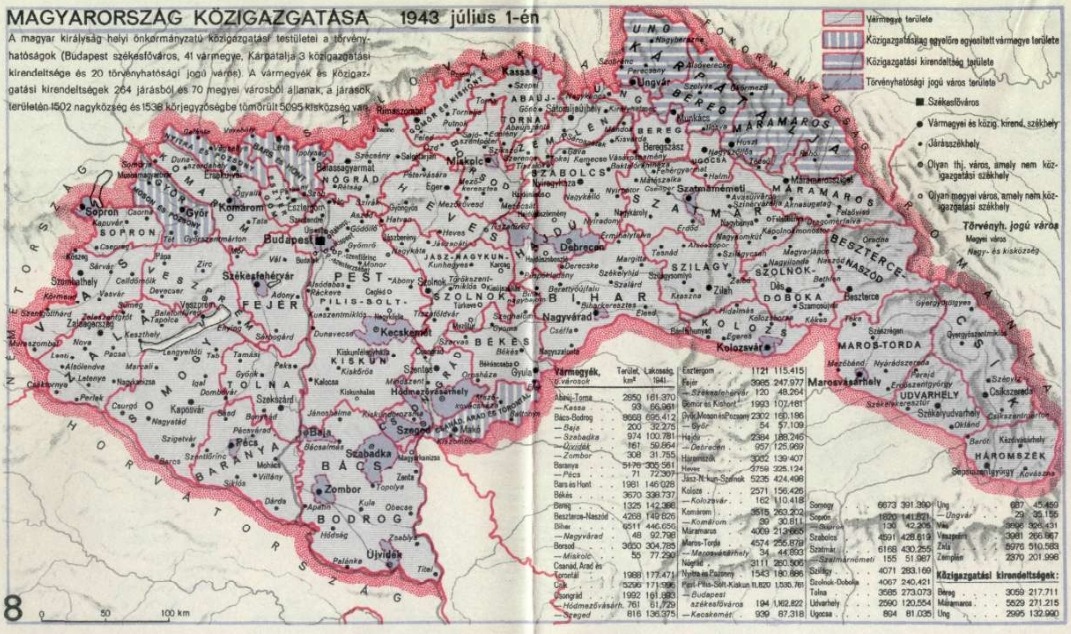
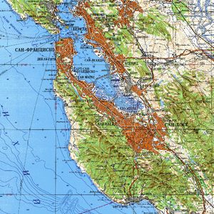
Use this thread to post your best, most beautiful or interesting maps.

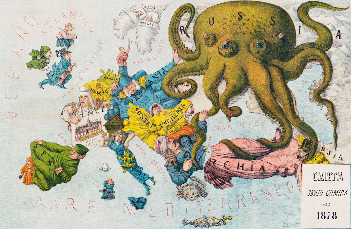
I just came across this map of Europe from 1878 with the nations represented by people and other figures. Maybe not the most useful geographically, but it more than makes up for it in flair!

Fp7CS9NXoAAgOp_
 
I'm always fascinated by the boundaries of Hungary after the Treaty Of Vienna, 1942:

tumblr_lt88oxGXm11qfg3qto1_1280.jpg

The Nazis were quite generous with this particular ally. Largely at the expense of another ally, Romania.
 
Cartography was my mania growing up. That said, I don't have any really unusual stuff.
But here's a map of the San Francisco area by the USSR.
It's kind of interesting to see the place names so radically different to me.
As a side note, Russia once had an outpost just north of this map called 'Fort Ross', the naming of which is a 180 opposite of the names on this map.
 

Attachments

  • alternative SF.jpg
    alternative SF.jpg
    4.5 MB · Views: 44
Cartography was my mania growing up. That said, I don't have any really unusual stuff.
But here's a map of the San Francisco area by the USSR.
It's kind of interesting to see the place names so radically different to me.
As a side note, Russia once had an outpost just north of this map called 'Fort Ross', the naming of which is a 180 opposite of the names on this map.
Sutter has gotten short shrift in our history. He bought out the Russians and one could imagine what could have tsken place if there were still outposts when gold was discovered.
 
Here is a map of my state from 1838. There are many geographic irregularities and the location of Marquette's grave is misidentified.
20230226_223433.jpg
 
I have a large collection of vintage Canadian road maps, not sure the best way to scan them... I also like some old road maps because of their interesting graphics, modern graphics are rather dull...
 
Ortelius's 1658 map of Iceland showing various mythological sea creatures. I'll make a smaller copy to post here shortly, the copy in this news story is 20 Mb in size.


I recognize that map. It was shown in class back in elementary school. We didn't have a decent map till the 20th century when we got some Danish cartographers, but this was the first one even vaguely approaching the actual shape of the country.
 
Ortelius's 1658 map of Iceland showing various mythological sea creatures. I made a smaller copy to post here, the copy in this news story is 20 Mb in size.

View attachment 97646


The less beneficent ancestors of Huxley.
 
This is not a typical "map", more like an interlinked Venn diagram, but I find it so beautiful in its simplicity and usefulness that I feel like it belongs in this thread.

This is a diagram of the different powers and alliances in Europe once WWI broke out (except for the Ottomans, who allied shortly after it started) found on Wikipedia.

1678321461439.png
 
This is the first map that only shows Norway. There are other, older maps with Norway on them, but this is the first Norway-only map. It was printed in the Netherlands, Amsterdam, in 1662, but it was made years before that. So that's a little interesting. It's not super accurate.

iu
 
Last edited:
How about maps of the internet? Or at least a part of it.

Here are 2 maps of routing through parts of the internet:

Circa 2005:

Internet_map_1024_-_transparent,_inverted.png


2017:

map-of-the-internet.jpg
 
I am a Christian Woman. But I must say, that these images are practically pornographic.

There is no more a delightful stim, than staring for hours and hours on end at old maps.

And then waking up the next day, just to do the same :)
 

New Threads

Top Bottom